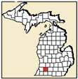

KALAMAZOO COUNTY, MI
GENEALOGY & LOCAL HISTORY
click to enlarge image
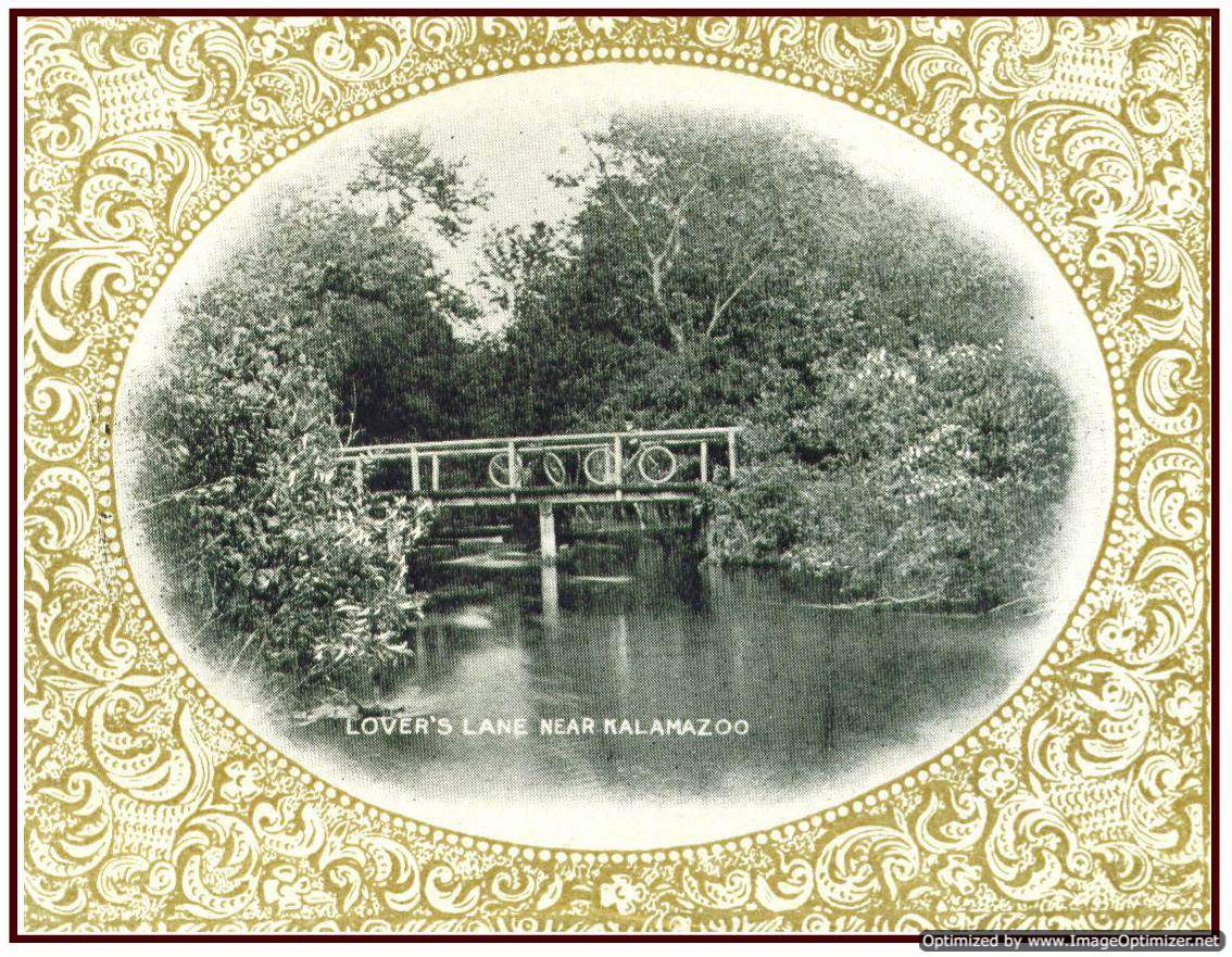
Portage Creek at Lovers Lane
MAPS
|
Kalamazoo County is located in SW Michigan. Kalamazoo is the name of the county, largest city, and main river.
|
KALAMAZOO COUNTY MAPS
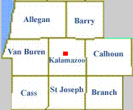
REGION
|
|
| Allegan County |
| Barry County |
| Branch County |
| Calhoun County |
| Cass County |
| St. Joseph County |
| Van Buren County |
click on image to enlarge it
|
County
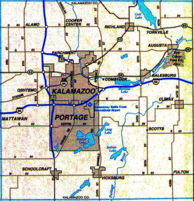 |
1874 County Map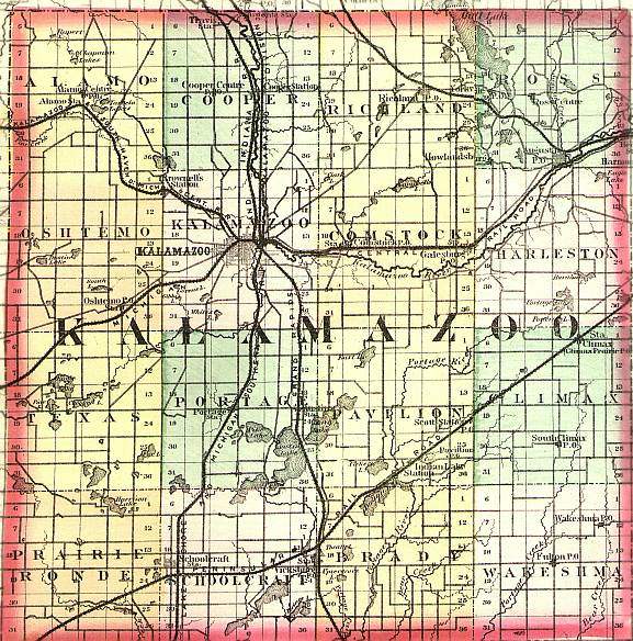 |
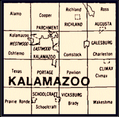
| Alamo | Cooper | Richland | Ross |
| Oshtemo | Kalamazoo | Comstock | Charleston |
| Texas | Portage | Pavilion | Climax |
| Prarie Ronde | Schoolcraft | Brady | Wakeshma |
click on image to enlarge it
| Alamo Twp. | 3,820 | Parchment City | 1,936 | |
| Augusta Village | 899 | Pavilion Twp. | 5,829 | |
| Brady Twp. | 3,581 | Portage City | 44,897 | |
| Charleston Twp. | 1,781 | Prairie Ronde Twp. | 2,086 | |
| Climax Twp. | 1,621 | Richland Twp. | 5,898 | |
| Climax Village | 791 | Richland Village | 593 | |
| Comstock Twp. | 13,851 | Ross Twp. | 4,148 | |
| Cooper Twp. | 8,754 | Schoolcraft Twp. | 4,033 | |
| Galesburg City | 1,988 | Schoolcraft Village | 1,587 | |
| Kalamazoo City | 77,145 | Texas Twp. | 10,919 | |
| Kalamazoo Twp. | 21,675 | Vicksburg Village | 2,320 | |
| Oshtemo Twp. | 17,003 | Wakeshma Twp. | 1,414 |
See the CENSUS page for more census data
| How To Read A Land Description |
| Portage Plats |
| Downtown Points Of Intrest |
![]() Return to Kalamazoo Co. Michigan USGenWeb page
Return to Kalamazoo Co. Michigan USGenWeb page
All rights reserved.
This site
may be freely linked to but not duplicated
in any fashion without my consent.
The information on these pages is meant for personal genealogical
research only and is not for commercial use of any
type.